Thorofare Trail Guided Backpacking Trips

Yellowstone Lake & The Remote Thorofare Region
Southeast Yellowstone - 7 Days/6 Nights
Dates: Aug 24th-30th
Tour Price: $2,450 per person
The Thorofare region of Yellowstone is a must-see destination for anyone looking for the ultimate wilderness experience. You'll visit the furthest dwelling from any road in the lower 48—a tiny outpost on the very edge of Yellowstone's southern borders that still feels like a modern day frontier! Hiking along the shores of Yellowstone Lake to the Thorofare Ranger Station is the ideal seven day guided trek for anyone looking for a once in a lifetime adventure full of discovery and solitude.
Click any image below to open a slide show.


Thorofare Overview
Thorofare Guided Backpacking Trip
Pricing: $2,450 per person
Length: 7 Days/6 Nights
Distance: 47.5 mi/76 km
Trip Type: Guided Backpacking
Average Elevations: 7,750-8,000 ft/2,362-2,438 m
Maximum Elevation: 8,000 ft/2,438 m
Location: Southeast Yellowstone
When to Visit: Aug-Early September
Difficulty: Easy
Route: Out-and-back
Group Size: 2-5 people
Age Limit: 16+
Scenery: Remote Wilderness, Yellowstone Lake, Yellowstone River, Trident Plateau, Thorofare Ranger Station!
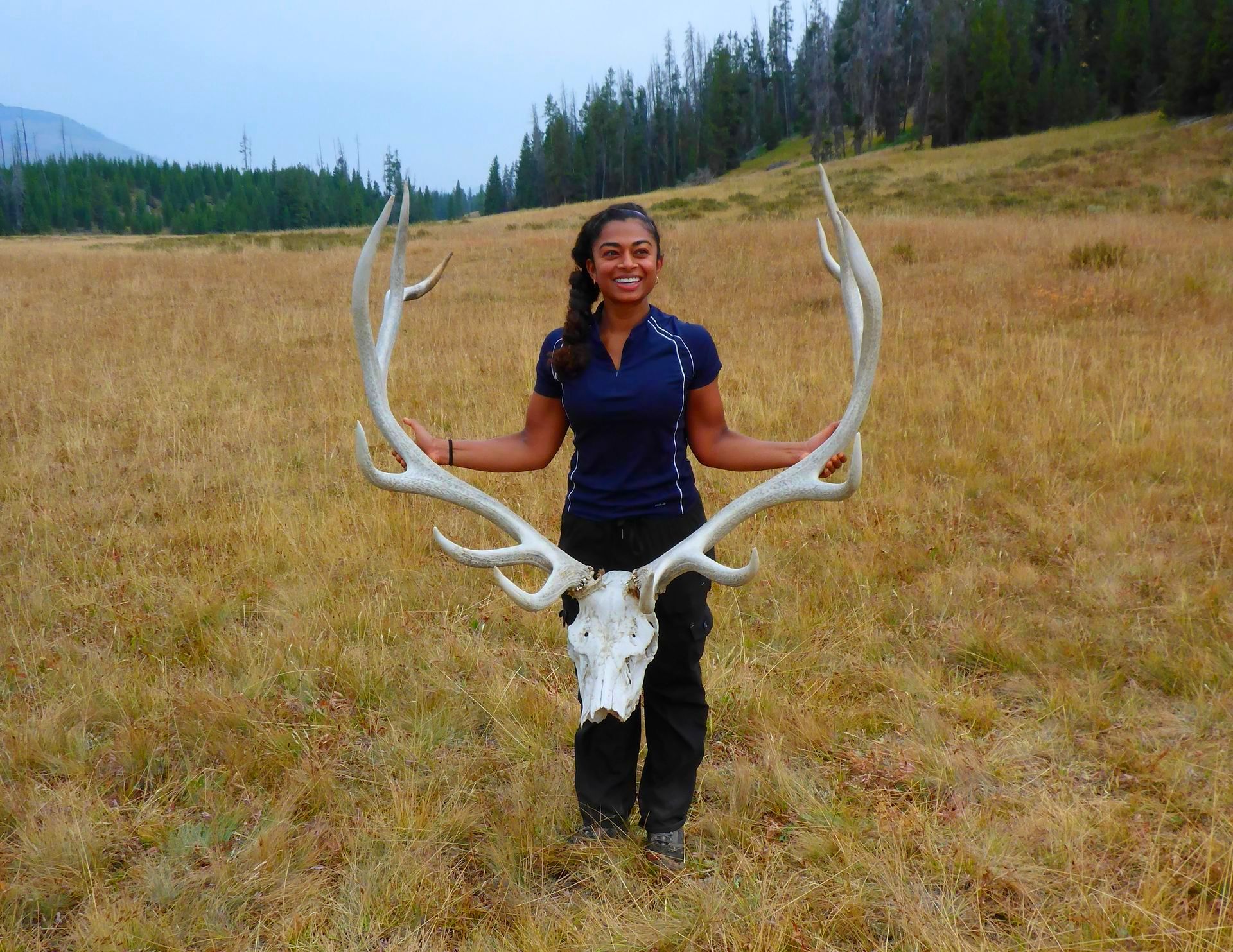
Potential Wildlife: Elk, Bison, Moose, Black Bear and Grizzly Bears.
QUESTIONS? CALL: +1-406-595-1823
2025 Trip Dates & Pricing
Price includes equipment rentals and backcountry meals and snacks. See the "General Information" section below for additional details.
| Dates | Pricing Per Person |
|---|---|
| Aug 24-30 | $2,450 |
Thorofare Itinerary
Day 1: Easy - 8-10 mi/12.8-16 km
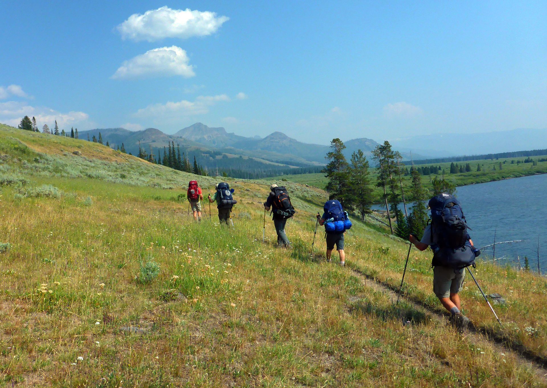
An early departure from Bozeman (5am) takes us to the starting point at the Bridge Bay Marina on the western shores of Yellowstone Lake, a 3 hour drive from Bozeman. At the marina we’ll double check our gear and make the final preparations for our trip into the Thorofare. The first leg of our adventure begins with a scenic boat ride across Yellowstone Lake. This massive body of water is the largest lake in North America that reaches an elevation above 7,000 ft. (2,133 m). After arriving at our first destination at Columbine Meadows we'll begin our trek along the Yellowstone Lakes Southeast Arm. The hiking is generally flat and passes through thick pine forests bordered by smaller meadows and a wide array of colorful wildflowers. As we approach the southern end of the lake near Terrace Point we are treated to a breathtaking view that extends far into the remote Thorofare region. Our campsite for the evening sits on a wide bluff just above Beaverdam Creek and looks out across the massive delta formed by the Yellowstone River. Bison and moose are often seen wandering the rocky creek bed just below camp. Welcome to the Thorofare!
Day 2: Easy - 8-10 mi/12.8-16 km
Day two takes us further south along the Thorofare Trail and deeper into this remote river valley. The dramatic profile of the Absaroka Mountains that follow Yellowstone's eastern border create a rugged and imposing barrier. Many of the high peaks in this region are above 10,000 ft. (3,048 m) in elevation, and the park's tallest mountain, Eagle Peak, reaches a height of 11,358 ft. (3,461 m). In the broad valley to the west the Yellowstone River slowly maneuvers its way past isolated stands of pine forests in large sweeping arcs on its journey to Yellowstone Lake. Throughout the day there are a handful of smaller stream crossings but in August most will be relatively minor. Our campsites in this region are generally located between Trappers Creek and Mountain Creek.
Day 3:
Easy -
8-10 mi/12.8-16 km
At the very southern end of Yellowstone National Park, below the massive Trident Plateau is a small outpost that was first constructed in 1915. The Thorofare Ranger Station is considered the furthest dwelling from any road in the continental United States at around 32 miles (51.4 km). It's here that you'll feel the impact of this remarkable slice of Yellowstone's wilderness. On the front porch of the cabin is a well-worn logbook that reveals the names of other intrepid hikers that have ventured into this remote region, and before heading off to our campsite we encourage our guests to add their names to this select group of adventurers. For anyone looking for a true wilderness experience, the Thorofare never fails to deliver.
Our campsite is located about 1.5 miles (2.4 km) west of the patrol cabin along Yellowstone's southeastern border and sits beside the slow moving waters of Thorofare Creek. To the south of the park lies the 3.4 million acre Bridger-Teton National Forest, another spectacular wilderness area full of recreational opportunities and home to Yount's Peak, the headwaters of the Yellowstone River. The mountain was named after Harry Yount who became Yellowstone's first game warden in 1880 and he was credited with the idea of creating "park rangers" to manage the national parks.
Days 4 to 6: Easy - 8-10 mi/12.8-16 km
On day four we'll begin our return trip north, backtracking along the Thorofare Trail via the route outlined above. Daily mileages and backcountry campsites will be similar to those of the previous three days.
Day 7: Return to Bridge Bay Marina and Bozeman, Montana
On our final day we'll spend a relaxing morning in camp before the shuttle arrives to take us back across Yellowstone Lake. It's a bittersweet moment but it's one we guarantee you'll remember for a long time to come.
General Trip Information
Guest Reviews
Matthew G.
"Amazing trip, Brian takes all the worry out of your backpacking experience! He has great knowledge and excellent gear. Everything he does and provides for you ensures you have the best experience possible, even when nature does not want to cooperate. He should be your number 1 choice for a guide!"